Date:
July 15, 2006
Participants:
Solo
Distance:
Approximately 12 km
Elevation
Gain: Approximately
1300 m
Maximum
Elevation:
2903 m (9,522 ft.)
Elapsed
Time:
7:10
approx.
Published
Routes:
Kane
Published
Rating:
Moderate
Difficulty
- Endurance:
6.5
Difficulty
- Technical:
3.5
Kane says
that: “the approach to Mount Hood can be as involved as the actual climb.” He is not kidding! The bushwhacking, detours, elevation loss, etc. added at least an hour to this trip. This scramble seems to be in dire need of a detailed description so I shall do my
best….
Start
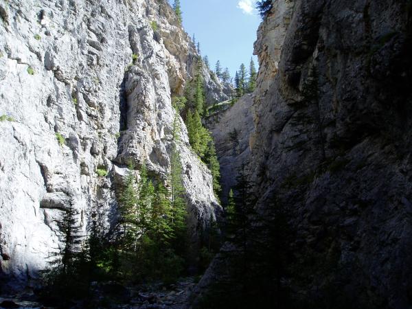
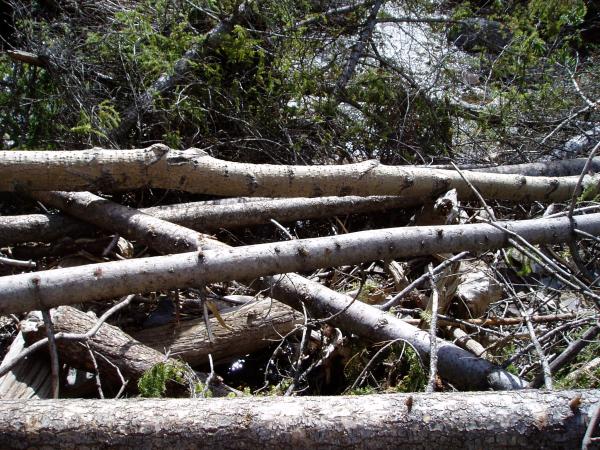
at the King Creek parking lot. The hike through King Creek Canyon isn’t too bad but you have to balance on logs to cross the creek as all the bridges and parts of the trail have
been wiped out. As the creek gets closer to the forks you actually have to scramble
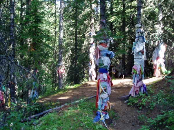
some narrow ledges. At the forks you have two choices. The obvious choice is to follow the well established trail up the Eastern embankment. This is likely where
most people will go wrong. This trail leads to an Aboriginal site of interest
and then continues to parallel the Northern fork of King Creek perhaps 100m above it.
Eventually the trial turns into an overgrown animal trail… perhaps Kane’s “sheep trail” but
not likely. I believe the correct trail probably follows the creek but maybe
only a few meters above it… which has now partially been wiped out by the flood plain of the creek. The other option is to stay in the creek bed, which has water intermittently above and below ground. I used the creek bed on descent and it is an absolute disaster! Perhaps this is due
to the rains and melt coinciding last year? Regardless both options suck, are
very time consuming and will likely leave you scratched up and/or in danger of a wipe out on the slimy rocks. DO NOT CLIMB
HIGHER above the creek as you will get stopped by steep terrain before you attain the correct ascent ridge to the col. Fortunately
on ascent I did not gain much elevation and only had a couple minor detours to contend with.
Continue
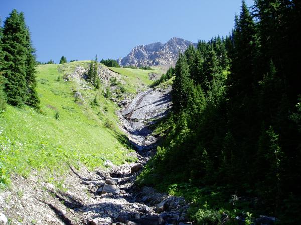
to follow the creek and when it arcs East and terminates at a slabby waterfall you will know you are at the correct ascent
ridge. Climb the very steep grass covered in odd water loving vegetation reminiscent
of my journeys on the West Coast. The ridge continues upwards and turns into
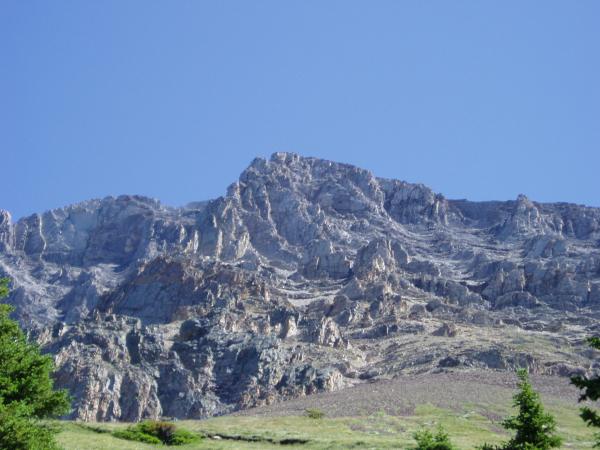
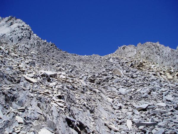
sharp shale like scree. When the ridge ends you are faced with a somewhat daunting
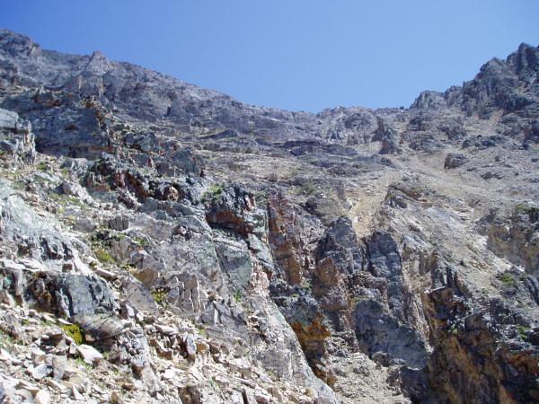
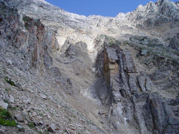
looking maze of gullies and rock outcroppings guarding the normal route to the col.
The normal route employs a notch in the cliff bands below the col. This
notch is a couple hundred meters South of the ridge terminus where you are standing and a few hundred meters above. Kane’s route description and picture in his book is not the route that I chose and is not the route
that appears to be favoured as evidenced by the trails making their way up the slopes.
At the
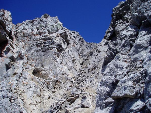
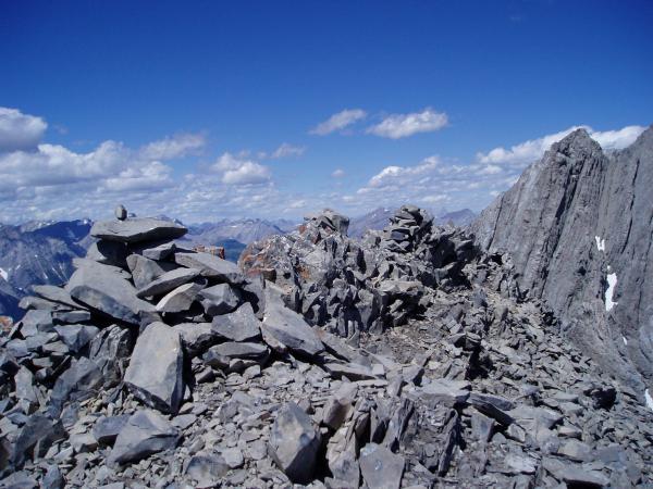
terminus of the ridge is a cairn and an evident trail up 3rd class rock on your left. I would suggest that you take this route. The gully that sits
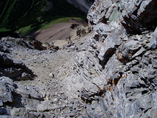
North of the rock fin is long, loose, fairly steep and, judging by the natural rock fall I observed, is a loaded gun waiting
to take out the next person that uses it. Anyway, there are probably a slew of
routes that go.
The route
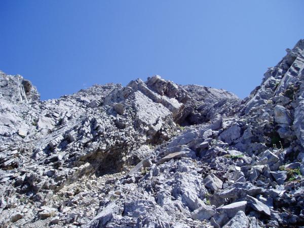
I took goes left at the cairn on the well used rock and continues straight up for a bit and then traverses in an angle to
the notch. With the exception of a few spots this is mainly an easy to moderate
3rd class choss heap. A few spots get a tiny bit more technical and
requires careful hold selections. That being said I’d suggest that you
may wanna WEAR A HELMET.
Once you
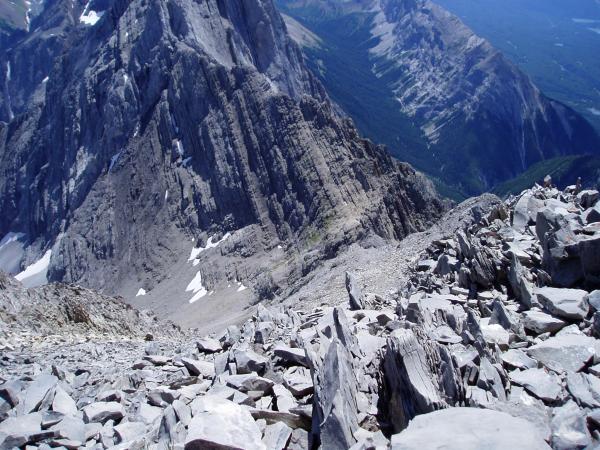
attain the col there is a trampled scree trail North to the summit that is basically steep hiking/easy scrambling. The summit register is over 20 years old, obviously this summit sees very little traffic. This lack of traffic is a selling feature for me and I was only the second person to sign the register
this year. The views are very respectable, featuring the lakes to the South West. Return the same way… and have fun in that creek bed! BTW the summit register has references to ascents via King Creek Ridge, which may be a good idea if you
can handle the extra elevation. I have climbed King Creek Ridge in the past (with
my Chihuahuas)
and it is a clear, pleasant trail. For directions East off King Creek Ridge to
the creek see Daffern’s book.
