|
Date:
September
9, 2006
Participants:
Author and
Karlie
Distance:
Approx. 10km
Elevation
Gain: Approx.
650m
Maximum
Elevation: 2332m
Elapsed
Time:
4 hours
Published
Routes:
Daffern
Published
Rating:
Day Hike
Difficulty
- Endurance: 3
Difficulty
- Technical: 2
(stream crossing 2.5)
Having to get back to work I thought
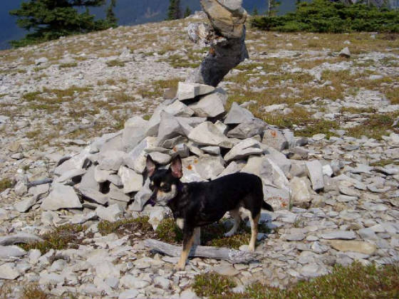
that a quick, close hike may do the trick. I took Karlie my Chihuahua with me. I really didn’t pay too much attention to the directions so we parked in the
first lot, cut around Forgetmenot Pond and then forded the river at a calm flat spot (easy as the water was only knee deep,
I carried Karlie over). We then bush whacked a bit until we stumbled upon the
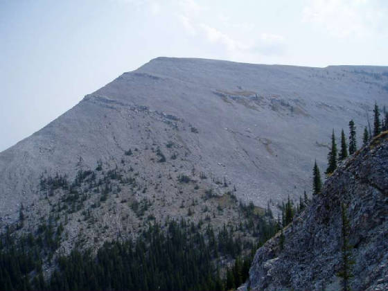
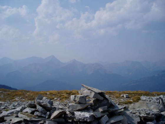
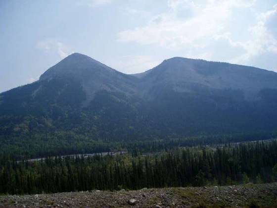
trail heading up to a ridge west of Forgetmenot’s North end. The trail
follows some minor cliffs that can be seen from the highway. In fact it would
appear that a moderate scramble from the highway North of the objective would get you on the ridge. There appear to be some trails that zigzag up to the cliffs and some (rather well used) trails that go
up near the rocky drainage between Forgetmenot North and the ascent ridge. It
would seem apparent that a scramble trail exists here and has been relatively well used.
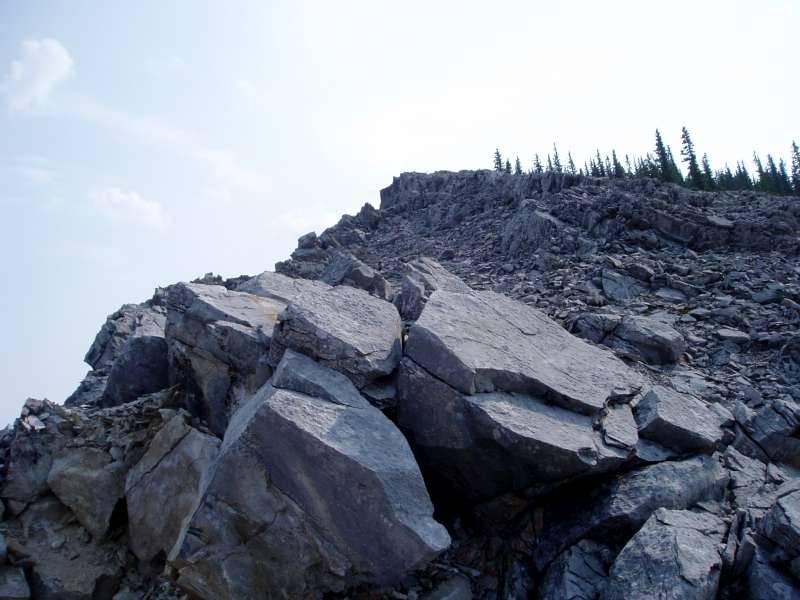
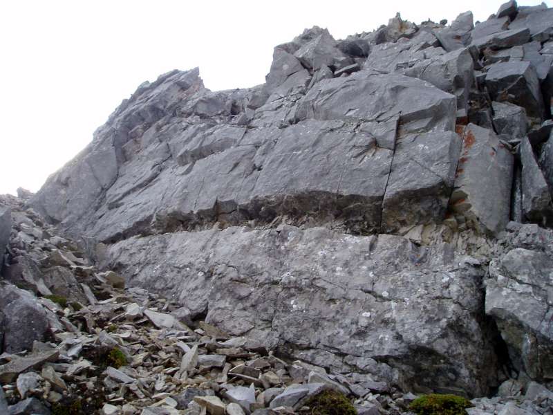
To add interest, I put Karlie in my backpack and we dropped below the cliffs traversed a ways and then came up on some
3rd class rock. On one particular section that had some mild exposure
I could hear Karlie, grunting in my pack behind me. She likely sensed that I
was a bit tense, nevertheless It was an interesting reaction. The trail follows
the lower ridge south and then circles around over the source of the drainage and back north to Forgetmenot’s wide North
end. I would recommend this little trip.
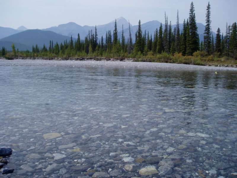
Looking back across the water at our crossing point.
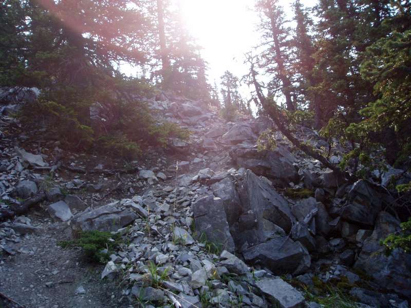
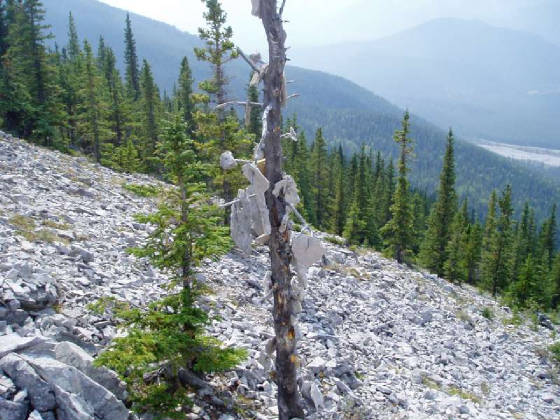
The good trail that we found leading up to the ridge.
|


