Date:
October 1,
2006
Participants:
Author and
Antri Z.
Distance:
9.5 km
Elevation
Gain:
Approx. 1050m
Maximum
Elevation: Est.
2700
Elapsed
Time: Approx. 5 hours
Published
Routes:
Kane
Published
Rating:
Moderate
Difficulty
- Endurance:
4.5
Difficulty
- Technical:
2.5, short spots of 3
Second
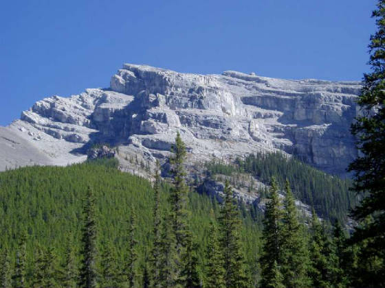
attempt on this peak and success this time. In the early spring I had attempted
this peak solo and was stopped by extreme snow and wind. The snow, mid-chest
in some spots, was so deep on my first attempt that I ended up doing a fair amount
of crawling. I probably made it 2/3rds of the way up before exhaustion and massive
winds turned me around. This time conditions were perfect and we had no
trouble whatsoever reaching the summit.
When Antri
had contacted me about climbing something during the week I had suggested a few easier routes thinking that we’d be
encountering winter conditions (see my last two trips). However, by the time
we made it into Canmore it was apparent that the mountains had, by and large, reverted back to summer mode. Nevertheless, we prepared for L. Grassi so we went for it.
I’ve
stated this before but the correct ascent line, easiest in terms of bushwhacking, is somewhat confusing to locate. All you have to remember is to avoid the blue flagging that you initially spot walking along the waterway
(ruined cairn near the blue flagging) and continue for a couple more minutes to a very large dry drainage complete with a
large cairn and several rubble mounds. Take a left and follow the rubble for
about 10-15 minutes until you spot a cairn and a well defined trail cutting up to the ridge on your left. This will be in a spot where the drainage narrows, just before some cliffs on the left. After that it is simply a matter of following the trail and flagging to tree line and then making directly
for the summit.
This route is not really a true scramble
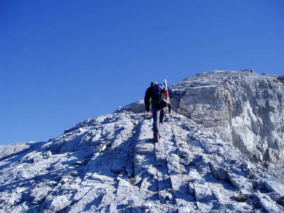
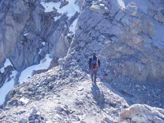
and is more of a steep hike (there is very little, if any hand use.) The only
tricky part is a narrower slabby section just before the true summit that is covered in ball bearing scree. Although not really exposed, this section may pose difficulties when icy or snow covered as even a short
glissade over the icy slabs could result in a serious fall. Therefore I do not
recommend this trip in winter conditions. Had I made it to the slabs on my first
attempt I would likely have retreated.
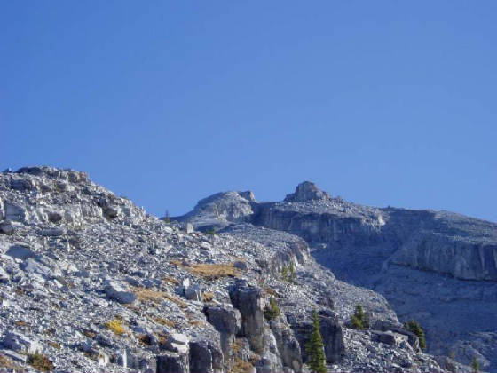
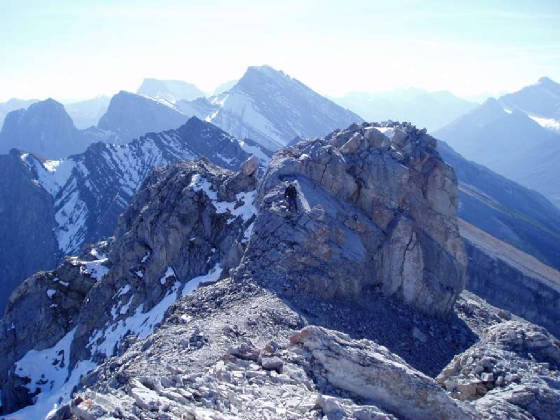
Kane’s lower summit appears as a
large rocky outcropping when viewed from the ascent ridge. It may appear somewhat
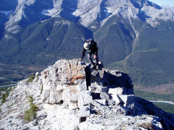
formidable from below but when viewed from the higher and true register bearing summit it is merely a few moves of short 3rd
class rock with some exposure. Antri went up a few feet on it and didn’t
think too much of it. I didn’t even bother.
