Freedom of the Hills...

Rimwall
Home | Yam Crag | Observation Peak | Opal | Lady MacDonald | Yamnuska | Nihahi | Rating System | Rants | Grizzly Peak | Forgetmenot North | Deer Ridge | Rimwall | Seymour | Cheam | Chief | Bull Creek Outlier | Little McDougal | Heart Mountain | EEOR | Door Jamb/Loder | GR436425 | GR436425 II | Lawrence Grassi | Wasootch Peak | Old Baldy | Wasootch Slabs | Fairview | Fortress Ridge | Baldy North | Midnight Peak | Sparrowhawk | Bragg Creek Ice Cave | Tiara Peak | Belmore Browne | Mount Hood | Mount Chester | Contact Me

Date:                                                    September 3, 2006

Participants:                                          Author and Carrie

Distance:                                              7.5km

Elevation Gain:                                      940m

Maximum Elevation:                              2620m

Elapsed Time:                                       5:15

Published Routes:                                 Kane

Published Rating:                                  Moderate

Difficulty - Endurance:                          4.5

Difficulty - Technical:                            3 (3.5 in a few isolated spots)


We failed to summit.  Carrie had recently done the 2 day, 60 km, “Walk for the Cure” in Vancouver and had injured her foot. She did an admirable job of almost making it to the false summit before things got too painful and she pulled the chute.  It not being cool to abandon a party member, I hustled about 20 minutes to the false summit and called it a day.  Although the summit was certainly calling my name, I resisted as it appeared that there was nothing more interesting than another 45 minutes of never ending rumble to climb to get there.  The call of a waiting party member and the horrible rubble terrain made turning around an easy decision.  I would suggest staying off the route to the false summit and just head up the alternate drainage to avoid the horrific rubble terrain.  Lord knows you will have enough Rockies rubble on the walk to the true summit from the drainage so there is no sense in prolonging the torture.
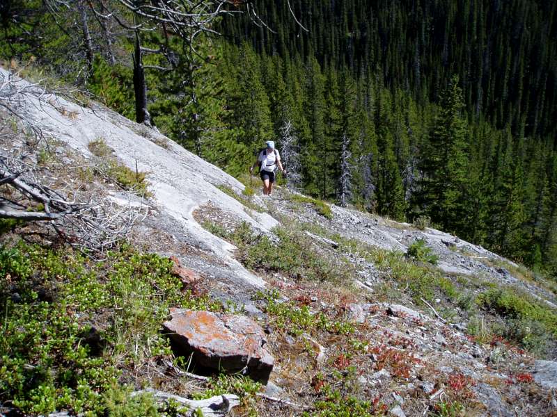
p9030002-800.jpg

Zig-zagging over the first cliff band from the trail to West Wind Pass.  Leave the trail about 85% of the way up to the pass at a medium sized cairn then cut left to easily surmount the first set of cliffs.  There is no need, and it is likley not desirable, to go all the way to the pass before leaving the trail.
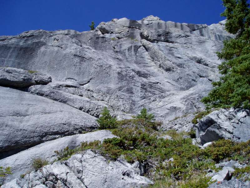
p9030005-800.jpg

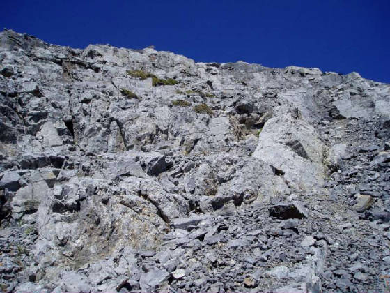
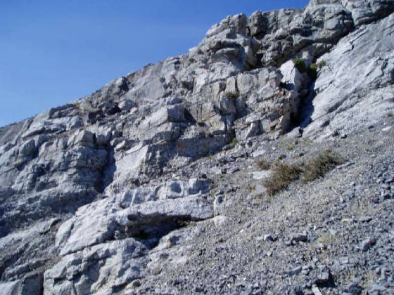
The second cliff band.  Although it may look tame, this rock is steep, chossy and 5th class... not a good idea to climb.  I tried it in a few spots when we were screwing around on descent and I had hold after hold pull out on me. (I recently climbed rock very similar in angle and hold number to this on Seymour and the difference was truly astounding!)


p9030049-800.jpg

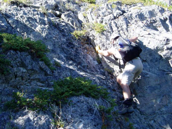
As noted, a telephoto shot of me climbing a chossy low 5th class crack in the 2nd band. (Not advisable without rope).  We got a bit smarter and started practising some hip belays with our scrambling rope on this band.  There was easier access to the top about 200m down slope.

p9030006-800.jpg

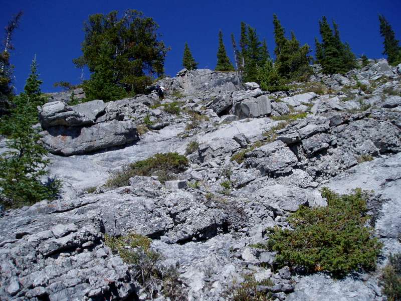
This is the easier access over the 2nd band as I take the picture up-slope.

p9030012-800.jpg

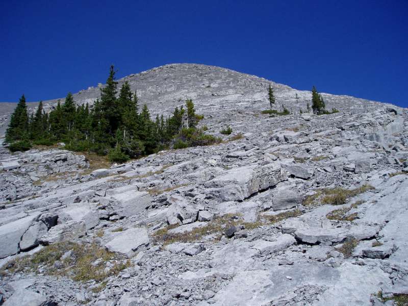
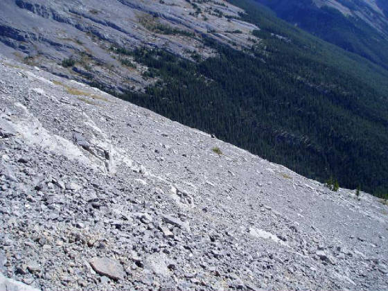
Looking up at the false summit.  This is about where we should have cut over to the alternate drainage to our left (cairn).  The rubble isn't too bad yet but will get horrific in minutes.

p9030015-800.jpg

How is this any fun?

p9030040-800.jpg

In a futile effort to escape the never ending rubble and scree I opted to climb these 3rd/4th class ledges.  The correct route continues south of the false summit on easier terrain. Of course, I quickly found out that my route was a bit too interesting as I traversed on extremely chossy and moderately exposed rock.

p9030016-800.jpg

Carrie pulls the chute and waits for me to claim the false summit.

p9030024-800.jpg

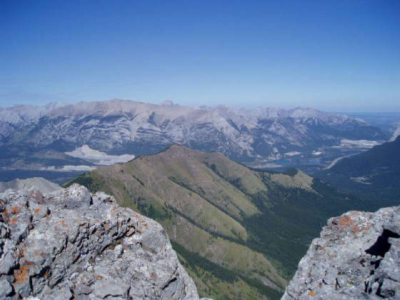
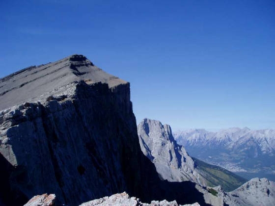
False summit and the view east.  The lower green ridge is called Wind Ridge which is a steep hike/easy scramble.

p9030022-800.jpg

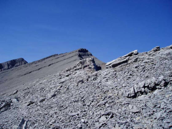
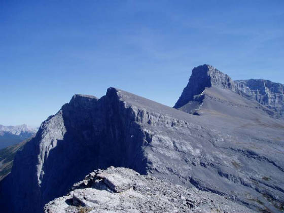
The true summit.  Note all the easy breaks in the cliff bands.

p9030030-800.jpg

False summit view north.

p9030026-800.jpg

Wind Tower to the south.

p9030032-800.jpg

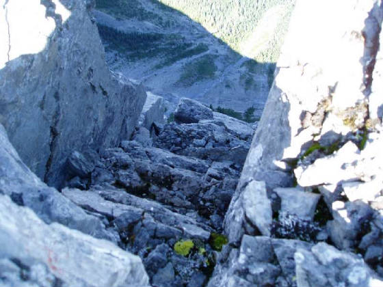
Huge drop off the false summit.

p9030031-800.jpg

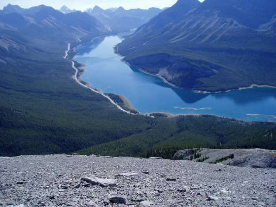
Looking west to the lakes... and the car.... and the dust....