|
Dates: Late Winter 2006: April
16, 2006:
November
2006
Participants: Solo: Author and Carrie:
Author and
Linda:
Author, Wietse and Antri
Distance:
5km
Elevation
Gain:
915m
Maximum
Elevation: 2350m
Elapsed
Time: 3:30 to 6:00
Published
Routes:
None
Published
Rating:
None
Difficulty
- Endurance:
4
Difficulty
- Technical: 3
(3.5 winter)
I attempted
this peak twice before in poor winter conditions and was stopped the first time about 50% of the way up due to a lack of comfort
in the party and then a second time solo at about 60% of the way up due to bad weather and route finding problems in the deep
snow. On April 16, 2006 Linda and I made it (almost) to the summit. A cornice, icy rock, exposure and severe wind stopped us just shy of the cairn.
In November
of 2006, Antri, Wietse and I blazed up this mountain and tagged the summit cairn.
The pictures
below are from several different trips.
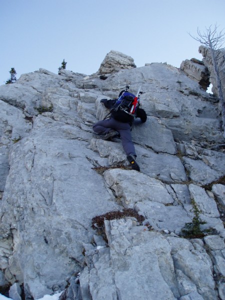
Antri soloing a short low 5th class pitch on the ridge. I ascended a bit more to the right in the corner [Last
Trip]
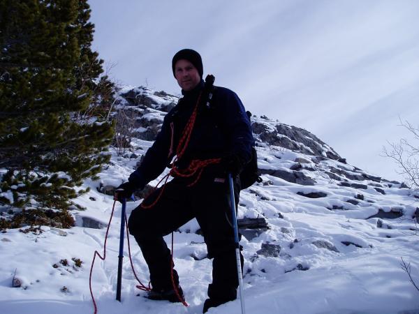
Going light, bowline/kiwi coil and a running belay using some rock ribs and trees for friction while coming
down from the very icy rock behind me. [First Trip]
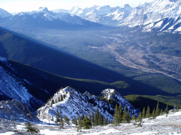
Looking back at the ascent ridge from the upper scree slopes[Last Trip]
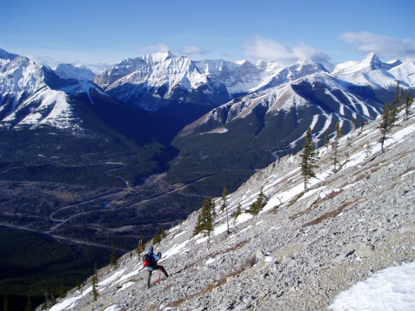
Wietse on the upper scree slopes with Nakiska in the background [Last Trip].
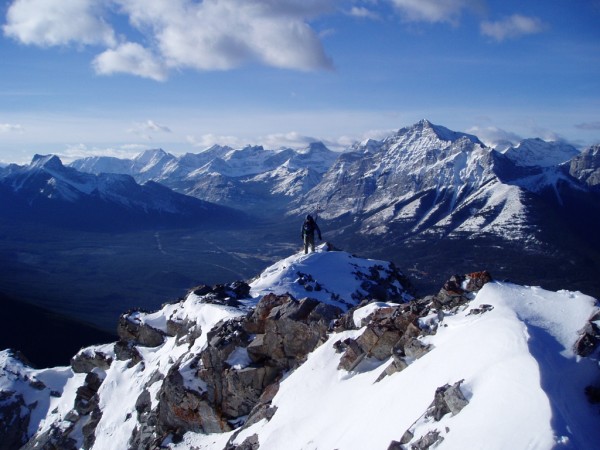
Wietse on the exposed summit ridge. Extremely poor conditions and a large cornice stopped Linda and I here
on a prior trip.
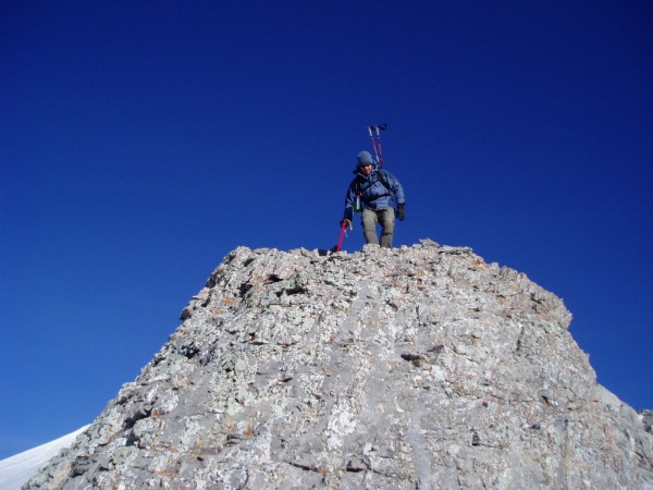
Wieste about to down climb from the summit ridge [Last Trip].
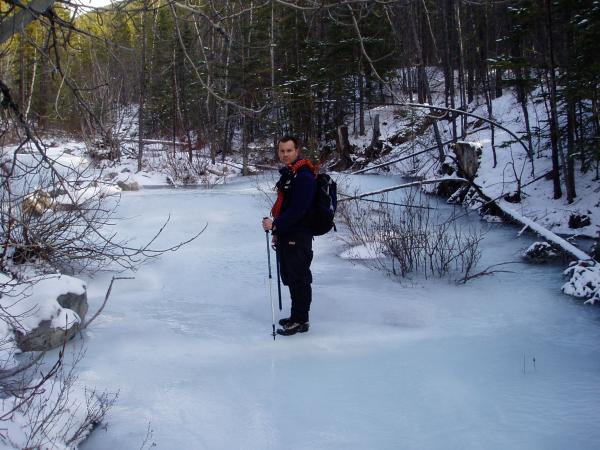
Standing on the rock solid frozen creek near the beginning of the climb [First Trip]. On my second trip the creek
had overflown its bank and I bailed pretty badly on the ice in full view of traffic going down Hwy. 40
|


