Date:
June 18, 2006
Participants:
The author
and Carrie.
Distance:
Approximately 11
km
Elevation Gain: Approximately 364
m net gain, however gross gains would be more due to significant elevation loss (at least 550m)
Maximum
Elevation: 2365
m (7,757 ft.)
Elapsed
Time: Unknown (est. 5 hours)
Published
Routes: Daffern
(modified)
Published
Rating:
Daffern: “Mild Scrambling”
Difficulty
- Endurance:
3.5
Difficulty - Technical:
Overall 2.5 (Short down climb and some minor ridge exposure near last peak rates as 3)
Fortress
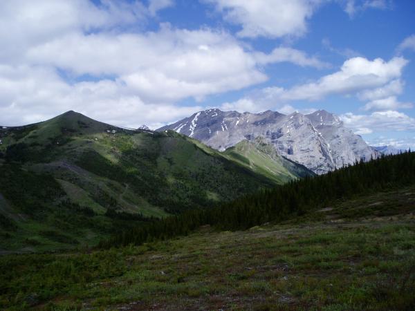
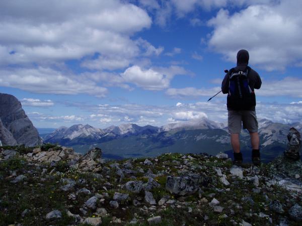
ridge offer some magnificent scenery for such little effort. If you are interested
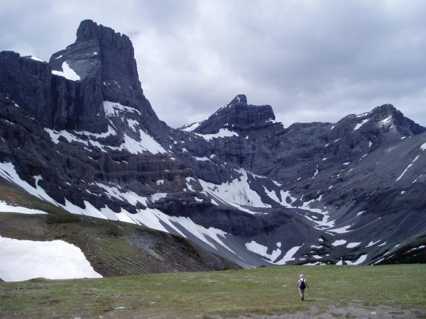
in just a quick hike in exchange for outstanding views I would suggest you just tramp up the old backside ski runs and bask
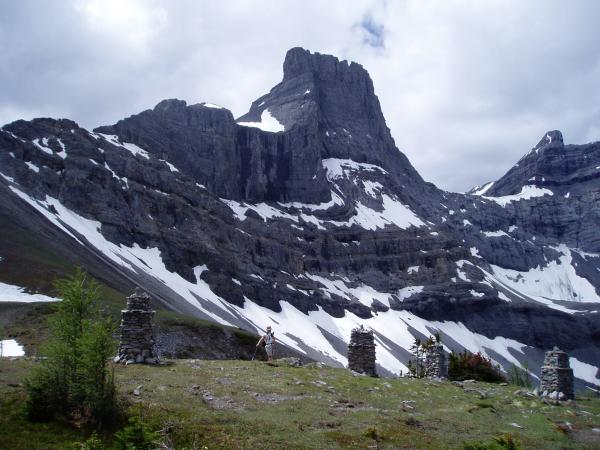
in the glory of the Fortress and surrounding peaks, replete with a wonderful little tarn.
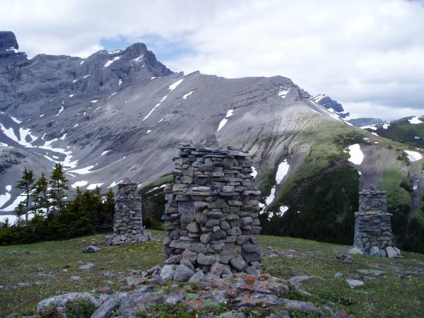
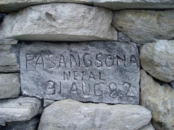
This little spot is so gorgeous that some have chosen to construct memorials here.
The route
avoids this spot, which is a shame, by steering you north to the summit of the first peak known as “Baldy”. The route unfolds as a relatively expansive ridge walk over two more summits and a
short easy scrambling section on the col to the last summit. As you approach
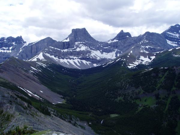
the last summit, fantastic views open up including the daunting face of Mount Kidd South.
There are some down sides to this hike, one being the large
and repeated losses and gains of elevation, the other is more sinister. Fortress
Ridge, of course, used to be a ski area which closed down in the last few years. All
the ski hill accoutrements are still in place and frankly are a massive eyesore. Some
of the buildings have been shut down by order of the district due to mould infestation and other assorted problems. Furthermore there is a shop of some kind still present on the hill which looks like an environmental assessment
may reveal some contamination. I can only imagine how stunning this place must
have been before man’s presence screwed it up. This whole mess almost makes
me want to look into this situation pro bono.
