Date:
August 24, 2006
Participants:
Author and Mike
Distance:
Approximately 9 km
Elevation Gain: Approximately
665 m
Maximum Elevation: 2112m
Elapsed Time:
4.5 hours
Published Routes:
Fairley,
Gunn and others
Published Rating:
Easy Scramble
Difficulty - Endurance:
3
Difficulty - Technical: 2
(one short rubble section of 2.5)
To get to the standard route’s
trail head you will absolutely need to have a high clearance vehicle with four wheel drive capability. Access is via
a decommissioned logging road which is in such poor condition that even the full size Dodge Ram 1500 we were riding in ending
up dragging parts in a couple spots. The road is narrow, washed out in places and is exposed. The directions to
the trail head are also quite involved and are as follows:
“Highway 1 Exit 119A (Sardis/Vedder).
South on Vedder Rd. until you reach the Vedder
Bridge. Turn left onto Chilliwack Lake Rd. Set your odometer to "0" at the Vedder
Bridge. At 28km, turn left on Foley Forest Service Rd. Zero your odometer again
and drive 2 km, cross the bridge over Foley Creek and turn left at the T-junction. 2km further cross Chipmunk
Creek Bridge and take the next right uphill (passing
the gravel pit on your left) on Chipmunk Creek Forest Service Rd. This
is a rough road with many cross ditches, but not too steep for the first 7km. Keep right after crossing Chipmunk Creek. The
road is rougher and steeper for the final 4km to the parking area. Orange squares mark the route.”
The standard route is stated by Gunn
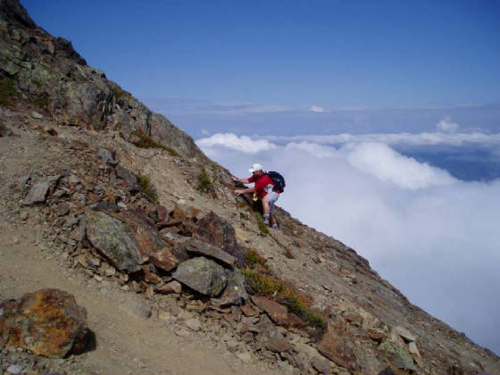
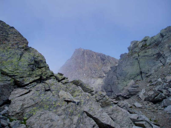
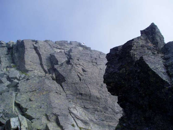
to be an easy scramble but in reality is just a hike akin to Fairview or Ha Ling.
Sure footed climbers will not require hands to be used in any location on the trail. Lady, the peak East of, and the
peak which shares the col with Cheam is said to be a moderate scramble with some route finding difficulties. This appeared
to be accurate from the very little of Lady I could see through the clouds.
My original plan was to do both Cheam
and Lady, and given that Cheam could easily be done in under 3 hours (2.5 hours for very fit individuals), this dual summit
day is strongly suggested after one has already journeyed up the extreme access road. However, weather, time constraints,
sickness and the party make-up did not allow for a dual summit on the day of my visit.
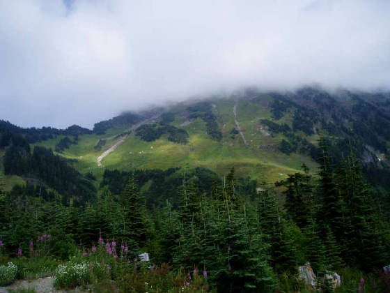
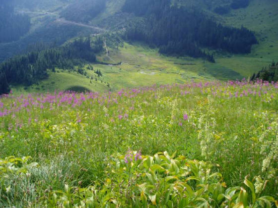
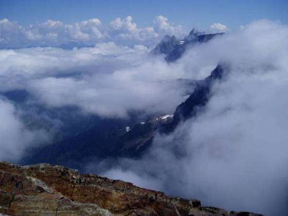
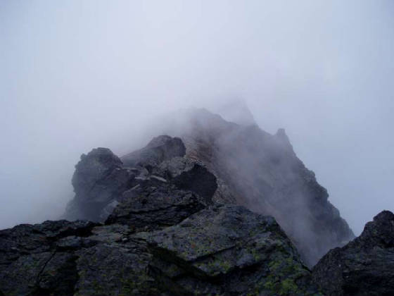
Regardless, the views and the terrain
were incredibly stunning. Had the sky been clearer we would have likely had a magnificent view of the near 11,000ft.
glaciated massif of Mt. Baker to the
south. I am a real sucker for coastal BC peaks having grown up and climbed in this area and this mountain did not disappoint,
even with the clouds.
The actual hiking terrain was boring
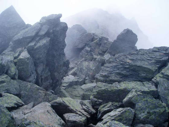
but there is a western ridge that offers more interesting scrambling, likely moderate and exposed on the Kane scale (a scale
which is somewhat similar to Gunn’s). I journeyed part of the way down this ridge on descent while my partner
rested but could not see all of it as it descended through cloud cover so I climbed back up, rejoined him and we descended
via the normal route.
My recommendation would be to do
the following if you ever get the chance to be in this area: (WARNING: I have not done this so it may not go).
Park at the standard trail access to Cheam/Lady, follow the trail until you can see the col between Cheam’s west ridge
and a bump to the south of Cheam, carefully cross an ecologically sensitive meadow and gain the sparsely treed col, climb
Cheam via the west ridge, descend Cheam following the standard trail, depart the trail and climb a nub on the col. Follow
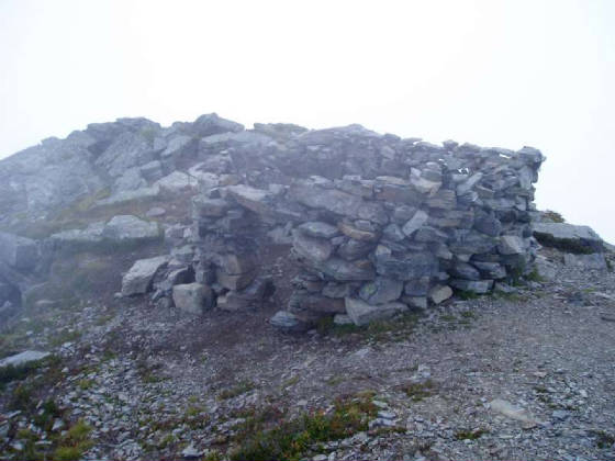
the col up Lady and descend Lady via the very sparse trail to the cairn (I rebuilt it) and out on the standard trail to the
parking lot.
Although the standard route up Cheam
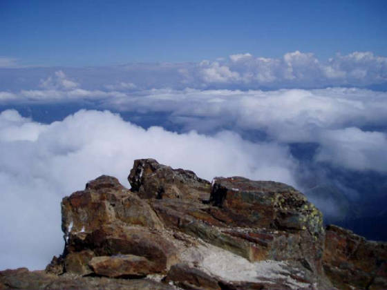
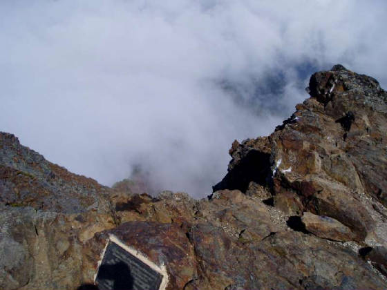
is merely 2nd class please be aware that there are extreme drop offs on three sides at the relatively narrow summit.
I understand that people have accidentally walked off the top in the heavy cloud cover that is typical of coastal B.C.
