Freedom of the Hills...
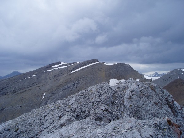
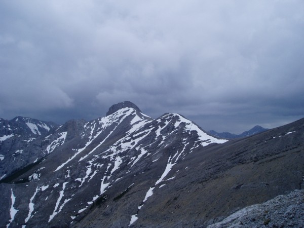
Belmore Browne
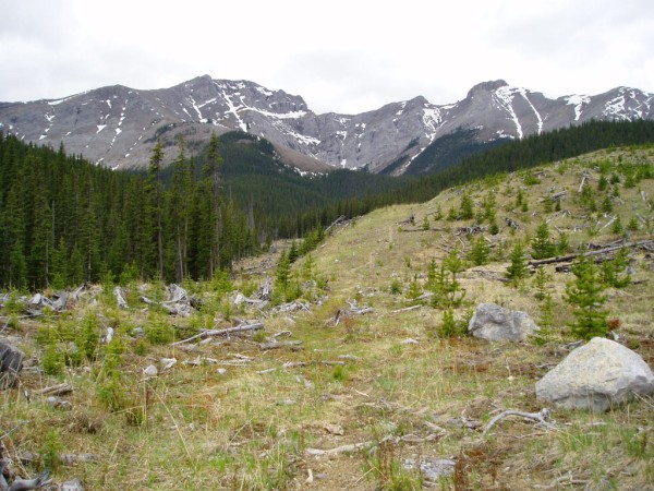
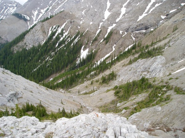
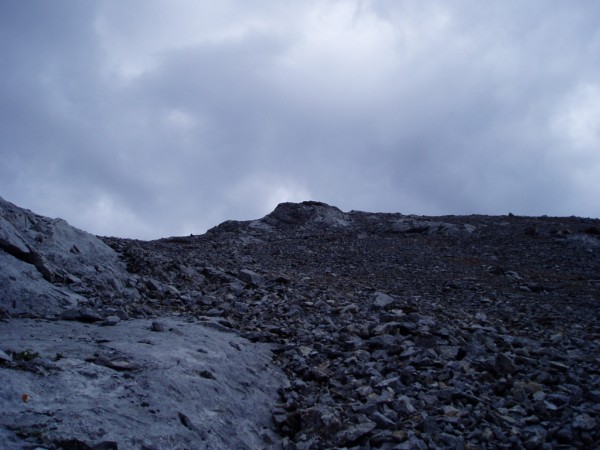
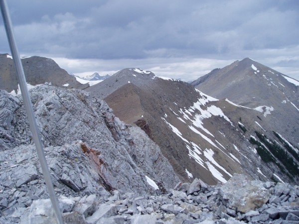
Home | Yam Crag | Observation Peak | Opal | Lady MacDonald | Yamnuska | Nihahi | Rating System | Rants | Grizzly Peak | Forgetmenot North | Deer Ridge | Rimwall | Seymour | Cheam | Chief | Bull Creek Outlier | Little McDougal | Heart Mountain | EEOR | Door Jamb/Loder | GR436425 | GR436425 II | Lawrence Grassi | Wasootch Peak | Old Baldy | Wasootch Slabs | Fairview | Fortress Ridge | Baldy North | Midnight Peak | Sparrowhawk | Bragg Creek Ice Cave | Tiara Peak | Belmore Browne | Mount Hood | Mount Chester | Contact Me

Date:                                                    May 2006

Participants:                                          Author and Carrie

Distance:                                              Approximately 12 km

Elevation Gain:                                     Approximately 700 m

Maximum Elevation:                             2450 m

Elapsed Time:                                      5:00 approx.

Published Routes:                                 Daffern

Published Rating:                                  Hike/scramble

Difficulty - Endurance:                          4

Difficulty - Technical:                            2.5


To access the peak park on Powderface Trail as per Daffern’s instructions in her Kananaskis Trail Guide.  The trail is difficult to locate but once you do the key is to follow the clear cuts and then transfer into a stream bed.  When the stream bed forks, keep right and head towards the open scree bay formed between Belmore Browne and the North ridge of Tiara.  There would seem to be other ways up as per Daffern’s guide.  Avoid the treadmill scree and just climb up.  There are a few points that hands may need to be used near the very top but this is basically a hike on par with Ha Ling (but for the longer approach).

brown3.jpg

The trail through the clear cuts.  Tiara lies ahead and Belmore Browne is off to the right.  At the end of the clear cut is a small cairn and you can go left into the creek bed or right through forest.

brown1.jpg

About halfway up Belmore Browne.  The access creek lies below.  The scenery is pretty interstesting here.


brown5.jpg

Getting close to the summit as rain begins.

brown2.jpg

At the summit with huge drops to the North.  All the visble peaks are reachable from connecting ridges.  I also understand that the peaks can be reached from Hwy 40.

brown9.jpg

More summit views of surrounding peaks

brown7.jpg

The connecting ridge to Tiara's summit block.  In my opinion the direct route up Tiara goes as a chossy low 5th class gully, a 3rd class route exists on the south-west side.

brown8.jpg

Coming down the orange shale like scree, Carrie is a dot in the distance.